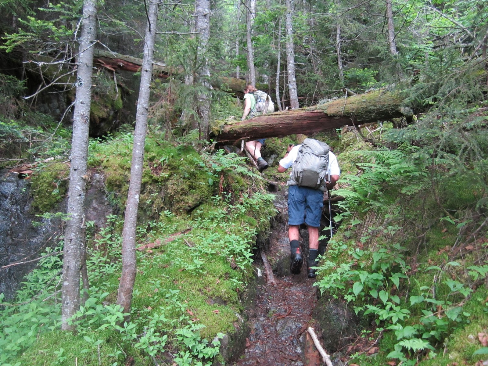
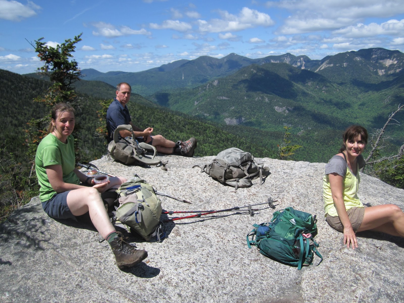
This is a hike you would probably not do unless you were climbing the 46 mountains above 4K in the ADK's. Like most of the hikes though it turned out better than anticipated. Carolyn, Sue, Bruce, and Ken set out on a clear summer day. Forecast was 85 in VT but turned out to be about 70 during the hike. Not bad but still hot for hiking. The hike is 18.5 miles and some of the terrain is pretty rough. It is like climbing Camels Hump except that you hike 7 miles in to the mountain first and then instead of a nice wide hiking trail you get a very steep herd path that goes up a water fall with branches and fallen trees all over. The climbing really starts at Allen falls. One of the many water falls in the river that you walk up and to the side of as you go up the mountain. When we got to Allen Falls we thought we had another half hour to the top. Not so. Our pace slowed way down as we made our way over all types of obstacles and it took another 1.5 hours to make it to the top. There was a certain type of moss or slime on about half of the rocks near/in the river. This was like black ice. Carolyn took one good fall in the river and everyone had a good scare or two as your feet zipped out from under you. The top of Allen is a treed small clearing and for some reason had a number of deer flies which were not a problem up to this point. Luckily there is a short path off the top that leads to a nice Easterly view of Marcy, Skylight, Dix, and a number of other mountains in the great range. This also had a great view of Panther gorge which is a trip that Sue has on her mind.
Surprisingly there were 3-4 other groups of people going up this mountain. About half were not up to the task. We ran into one person who looked like they had reached their limits about half way up the mountain and about 8 miles into the woods. I am sure they didn't make it out until after dark and I doubt very much they had lights or enough water. Another woman had been hiking in at a very slow pace. She was in better shape but again probably didn't get out in the light. We also ran into a woman who said this was her first ADK hike. Her boy friend will likely never see her again and certainly will never be allowed to choose a destination for a date again.
The trail was very muddy in a number of areas. I will let the pictures tell that story. There is one water crossing where you need to take your boots off. Nice cool water that we ended up hanging out in on the way back. Felt very good to stand/sit in the water and helped a lot to get motivated to do the last 4 miles from the river back to the parking lot.
This hike was tough mainly because it was just long. We started driving in VT at 5:30AM. Started hiking at 8 and got back to the car at 6:30. Home by 9:30. Long day! Had dinner at a creamy stand on the way back. Food was great! Although anything and everything tastes great after 10 hours of hiking. Even Bruce's questionable hot dog with "meat" sauce and onions looked really good.
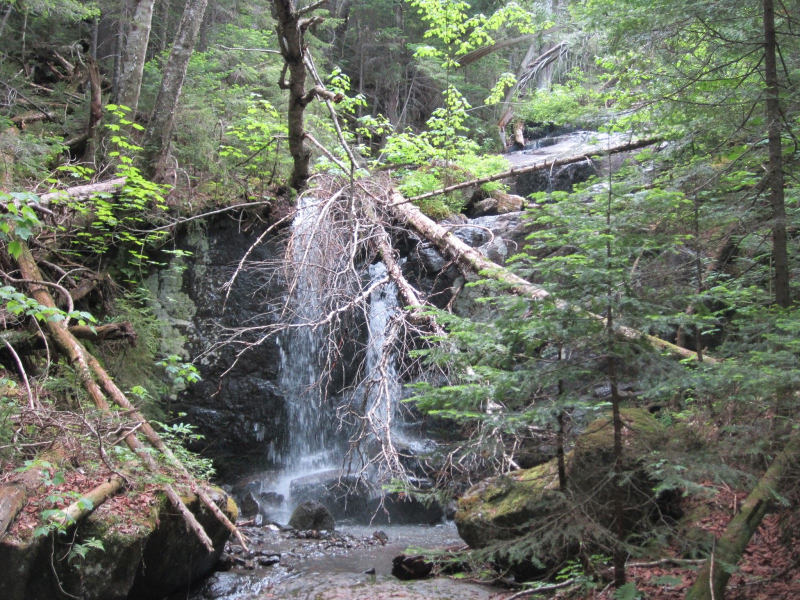 |
| Allen Falls - Steep, rough after this |
 |
| Bruce heading to the yacht club |
 |
| Thinking about another 9 miles... |
 |
| Views a short walk East of the top |
 |
| This is the trail |