Monday, November 11, 2013

Big Slide 11/09/13

Big Slide loop: Up the brothers trail to the top of big slide and back down via John's brook.


Monday, November 4, 2013

Street, Nye 11/03/2013

This looked like an easier hike on paper. 8.5 miles and two peaks. How hard could it be?
It was a cold morning. At least cold for people who are not used to cold yet. Some snow on the ground starting right from the parking lot. The hike started out easy with a nice wide trail going around Heart lake. About a half mile in the heard path started going toward Street and Nye. Pretty quickly the trail got muddy and rough. About a mile in we came to a stream. The water was high and we spent about a half hour walking up the stream and down the stream looking for a place to cross. There weren't any. OK, the air is 20 and the water is 30. Ice on top of the rocks. Time to take off the boots and walk barefoot through the stream. It took another 15 minutes or so for us to realize what had to be done and then to actually do it. Once you got in the water it wasn't bad since your feet went numb almost immediately. Got to the other side and put the boots back on and started hiking. Fortunately the trail started going up hill so we warmed up and could feel our feet within 15 minutes or so.
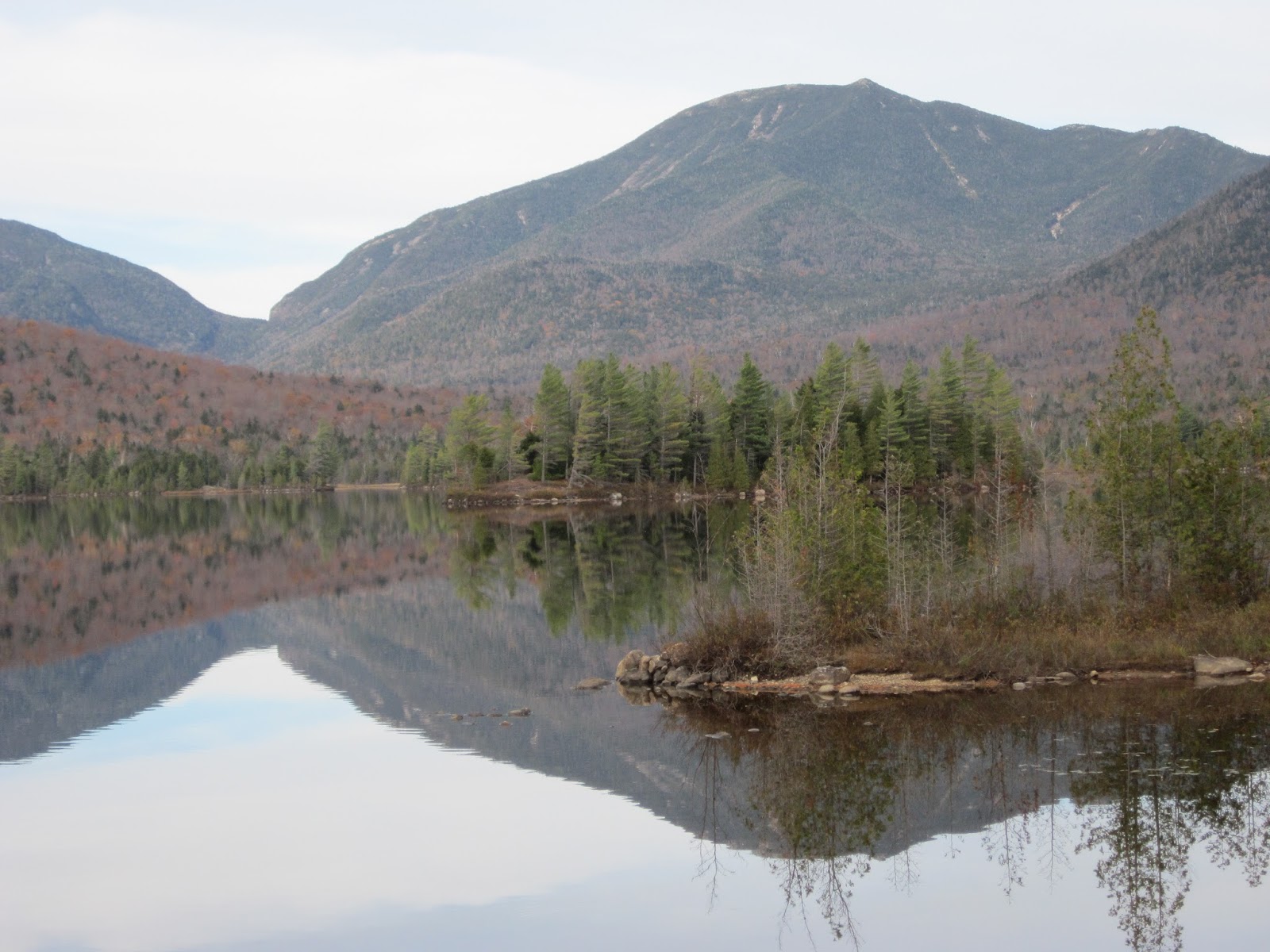
The trail was muddy and rough and stayed that way all the way up to the ridge. You had to pay attention to stay out of deep puddles that threatened to soak your semi-dry boots. From the ridge it was a pretty easy hike one way to Street and the other to Nye. Street had some decent views of Algonquin and Iroquois and Wright where we were a few weeks ago. Nye was treed at the top although you could see toward the great range a little bit through the trees. On the way back down we noticed that there were some pretty good views of the Great Range and the Algonquin range.
And again we arrive back at the stream. There is actually two stream crossings. The first one on the way back involves "riding" a log. A tree had fallen across the first stream which you could not walk across due to snow and ice on the log. You could ride it like a horse and pull your way across with your hands. Maybe that isn't how horses work? We had done this on the way out so we did it again on the way back. And then onto the stream where we took our boots off on the way out. Ken did the same on the way back. This time without spending time thinking about it. Sue, Carolyn, and Bruce got clever and put plastic bags on and tried to get across with their boots on. There were only one set of bags so the bags where placed in a small bag along with a rock or two and thrown back over the stream for the next person. Mixed results were reported. Some semi-dry boots and some wet ones. After the stream crossing it was an easy mile back to the car. The "easy" hike took about 7 hours. On the way up to the ridge, including the stream crossing, we were only going 1 mph. Between the stream crossing and the trail which found every other mud hole and small stream going up to the ridge it was very slow going.


                                          Wright, Algonquin, Iroquois from Street


                                                    Top of Street
                                                 

                                            Top of Nye


                                          Stream crossing techniques...


                                          Everyone used this method (barefoot) for the morning crossing

Monday, October 21, 2013

Wright, Algonquin, Iroquois 10/20/13

It isn't summer any more...


                                         Waterfall on way to Wright


                                         Top of Wright


                                         Bruce uses transporter to materialize on top of Algonquin


                                         Hillary step. A few people used up their O2 waiting.


                                         Heading down Algonquin. Looking at Iraquois.


                                         Colden and Marcy


Thursday, October 10, 2013

Macomb, South Dix (3 times), East Dix, Hough, Dix 10/10/2013

This one was at the edge of my limits. OK, it was over. Started out cool (32) and dark. 6:30 start in October which means no light. Found the trail going to Macomb which turns into a big slide. The slide has great views of Elk Lake and surrounding mountains and gets you to the top in a hurry. I was thinking the hike would not be that long after getting to the top of Macomb at 8:30. Next was South Dix which has views toward Dix and Hough and has a number of rocky view points. Just before getting to South Dix there was a cairn and a Y. One way went to South Dix which was clear since you could see the mountain. The other way went North and I assumed toward Hough and Dix. These are "trail-less peaks which means there is a trail or trails where people have walked before but no signs. I made a mental note that the other side of the Y must go to Hough and Dix and went on to South Dix. East Dix is east of South Dix. Good name. You take a trail from South to East and then go back up South Dix. So now I have been up South Dix twice. East Dix was pretty nice. Views of Lake Champlain and Vermont and an interesting angle on Giant and Rocky. You could see Juniper island in Lake Champlain. Then I headed down to the Y and happily went toward Hough. Or so I thought. Hough is higher than South Dix and you could see that I should have been going up. This trail kept going down, and then it started going West. I went down pretty far which means I had to go up again. About an hour diversion and another run up South Dix. I noticed another trail just after the South Dix that I previously thought was a lookout. Turned out that was the right way to Hough. At this point I was getting worried that I may be on the wrong trail again and may have to climb South Dix again but this trail started to go up quickly and was going the right way (North). The hike up Hough and Dix was pretty steep and there is a pretty good drop between Hough and Dix. Dix has great views of Marcy, and some of the great range, Giant, and all the mountains I had climbed today. The Beckhorn has a big table rock with a big wall. I will include a picture below. This was my third time up Dix. I went up from the other side two other times. One time in the winter which was interesting since I went up the slide and missed the turn onto the trail at the bottom of the slide. I will try and find a picture from that hike and include it. At the top of Dix I was tired. Dix is close to 5000 feet so I still had 3000+ of downhill and about 8 miles to go at this point. I looped down from the Beckhorn so didn't have to go over South Dix again! Nice trail down with views of the many slides that are on the Dix range. The day was 6:30 to 4:00. Drove a little further down the road once I got out of the woods. Checked out the Elk Lake Lodge which is very nice. Right on the lake with a sandy beach and all kinds of small boats to play with. Pictures to follow.


                                         Macomb slide


                                         Macomb slide with Elk Lake

                                          Elk Lake

                                          Dix


                                         Beckhorn looking toward great range


                                          East Dix


                                          Elk Lake - end of day


                                          April 6 2012 - Dix from round pond


                                          Missed trail at bottom and ended up going up slide.
                                          Steep ice slide.


                                          Dix as seen from Noonmark