A perfect Fall day to be in the woods. This trip was one of the better trips in the ADK's so far. Starting from the ADK Loj I went up to Avalanche Lake. I started at 6AM so it was still dark for the first 1/2 hour of the hike. Avalanche Lake is always nice and this AM it was particularly nice with the early light and steam coming off of the lake. The trail around Avalanche Lake is slow going but interesting. There isn't much room between the lake and a cliff that goes up along the length of the lake. The trail is a combination of boulders, ladders, and walk ways. Some of the walkways are built out over the lake. After Avalanche Lake I followed the trail going toward the Mt Colden trail access. After that I took a left heading toward Lake Tear of the Clouds which is at 4200 feet. The trail to the lake is a long climb along side a river with many small waterfalls and pools. A nice trail! You go by the trails to Redfield and Cliff and just before the lake the trail to Gray. Past Lake Tear of the Clouds there is a junction that goes to Skylight, Haystack, or Marcy. I turned up the trail to Skylight. Skylight has a wide rock top and sits beyond Marcy with views of many of the high peaks including Haystack, Basin, Saddle Back, and Gothics among many others. Marcy is close by so a great view of Marcy. Many people bring a rock to the top of Skylight. It is supposed to help out with the weather? I brought a rock up this time and placed it at the top of a large pile at the summit. There was no wind at elevation on this day. Out of the ordinary and very quiet at the top of Skylight. It also allowed for long stays at the summit since it was a comfortable temp, maybe 45, but with no wind.
From Skylight I went back down to the intersection and took the trail to Marcy. Half way up this trail you are above tree line and have great views of Haystack and Skylight. Marcy is the highest mountain the ADK's and has a 360 view that includes many of the 4000 foot mountains in NY. Again there was no wind on the climb up and at the top. From the top of Marcy I headed down the trail that goes to Indian Falls and the trail to Table Top. I went to Indian Falls and then back tracked a little to go down another route back toward lake Arnold. You can go to the bottom of Indian Falls off of this trail.
It was a long day, about 19 miles, and I finished at 4:30 (6AM - 4:30PM). Lots of variety and nice to do a big loop so you are always looking at new things.
 |
| Early AM Marcy Dam |
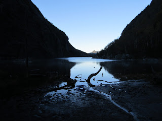 |
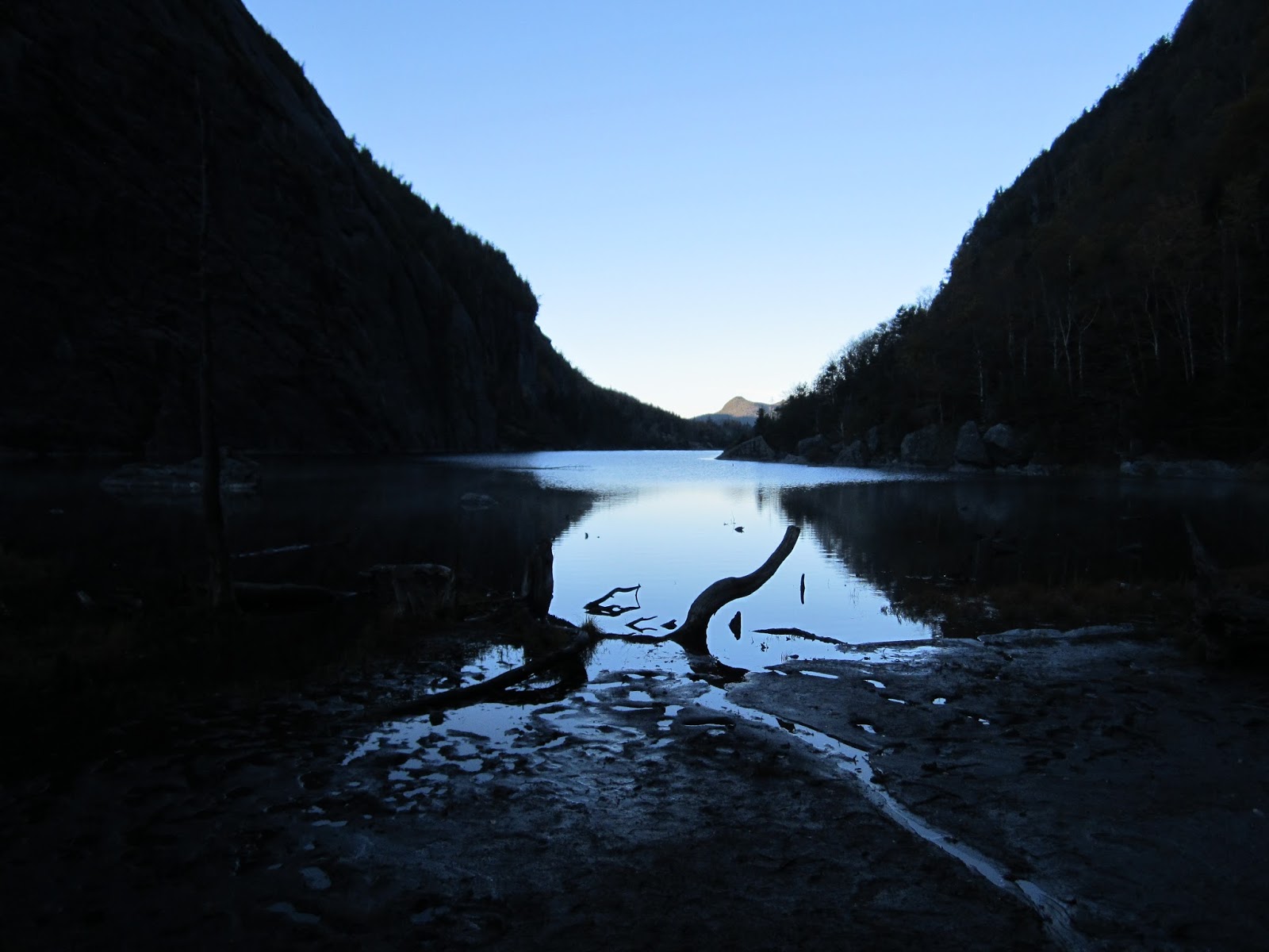
| Avalanche Lake |
 |
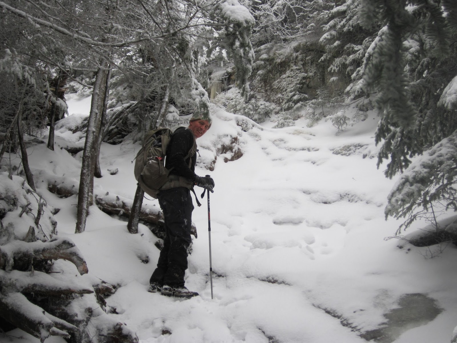
| Trail around Avalanche Lake |
 |
| Looking at Marcy from Lake Tear of the Clouds |
 |
| Heading up Skylight |
 |
| Marcy from Skylight |
 |
| Looking back at Skylight while going up Marcy |
 |
| Top of Marcy |
 |
| Indian Falls |
 |
| Back at Marcy Dam - near end of day |